

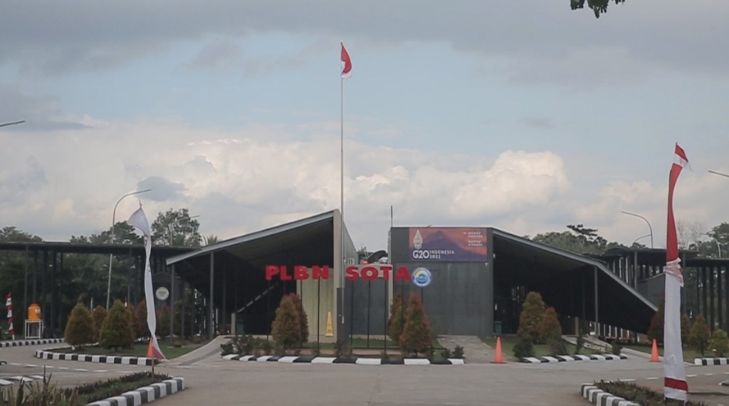
Sota district, located in the easternmost part of Indonesia, directly borders Papua New Guinea and is located roughly 80 kilometres from Merauke. Known as the zero-kilometre point of eastern Indonesia, it is known as one of two places in bordering Papua New Guinea in Indonesia, the other being Skouw in Jayapura. Indonesia, of course, has another zero-kilometre point in the town of Sabang in Sumatra at the opposite end of the country, the country’s westernmost point.
To reach this area from Merauke, one must travel almost an hour if by car. The trip takes us through a mostly straight, tree-lined road. The journey will take one through parts of the Wasur National Park, one of the most well-known attractions near Merauke and natural habitat of numerous endemic species. Every so often, a tall reddish-brown earthen structure will be visible. These are the famous Musamus, referred to as giant anthills, but are actually termite mounds, which are found all over Papua. Nearing the destination, houses and other buildings will be seen, where a small community has made their home. To the left, we see the zero-kilometre structure, with its large zero and an imposing statue of Sukarno, Indonesia’s first president standing nearby.
Approaching the landmark, one cannot help be reminded of the old song “Dari Sabang sampai Merauke” (From Sabang to Merauke), familiar to virtually everyone in Indonesia. The song, composed by R. Suharjo invokes a sense of pride among Indonesians, instilled at a young age that Indonesia is a vast country stretching from Sabang in the West to Merauke in the East, with all the wealth and diversity in between. We move in to take a few snapshots at the backdrop to show people at home.
According to historians, the interaction between the people of RI and PNG has gone on for many years, and is based on cultural ties, including similarities in culture, language, through marriage, as well as economic, which form the network of people living in the border area.
As we approach the border post, we see a group of people walking towards the area, carrying plastic bags. They go through checks where the personnel inspect the goods they bring. They appear to be Papua New Guinean regulars known to the personnel, greeting them by name. Nowadays, people cross the border mostly for trade. Papua New Guineaans come to buy basic necessities, especially food items such as rice and cooking oil, which they say are cheaper on the Indonesian side. Others come to bring animals from hunting and fishing to sell, such as fish and venison. The border personnel tell us that between 300 and 400 people cross the border every month.
Closing in to the metal gate separating the border, a visibly stark contrast between the two sides becomes evident. Outside the gate of the compound, we are greeted by mostly empty land, dotted with trees, and a couple of the large termite mounds. We see some of the locals gather, watching some sightseers take photos near the gate. On the left side is a stone marker stating the date of November 1983, when the exact location of the border was determined, as well as the exact coordinates. Close to the gate, we spot a small herd of deer at the grassy area.
The sky began to darken, signalling that it is almost sunset. Going back to our car, we see a group of tourists taking selfies at the zero-kilometre monument. We give the border post one last look before heading back to Merauke.
A visit to Sota is a rare opportunity, and is not something many people will ever experience. Once it’s over, it is only natural that one will want to visit its sister monument in Sabang. A visit to Merauke feels incomplete without a trip to Sota, if only to boast of having been to both ends of the country.
